Ref: UK3039

Oldbury Stay Campsite
England, South East, Kent, Sevenoaks
- Tel:
- +44 1732 247654
- Open:
- Late April - Early November




Alan Rogers Review of Oldbury Stay Campsite
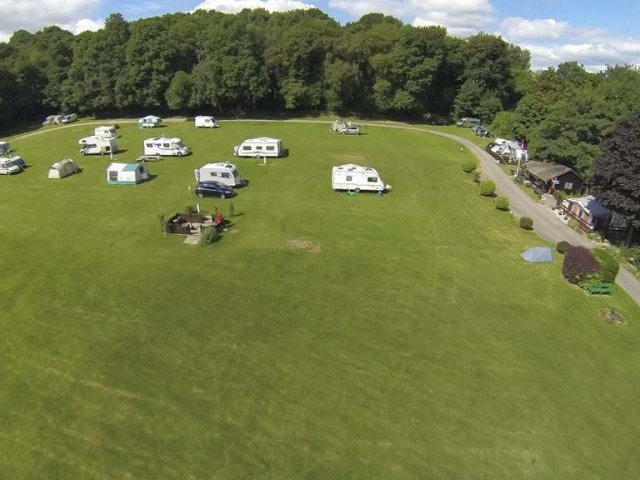
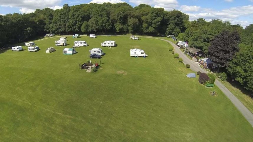
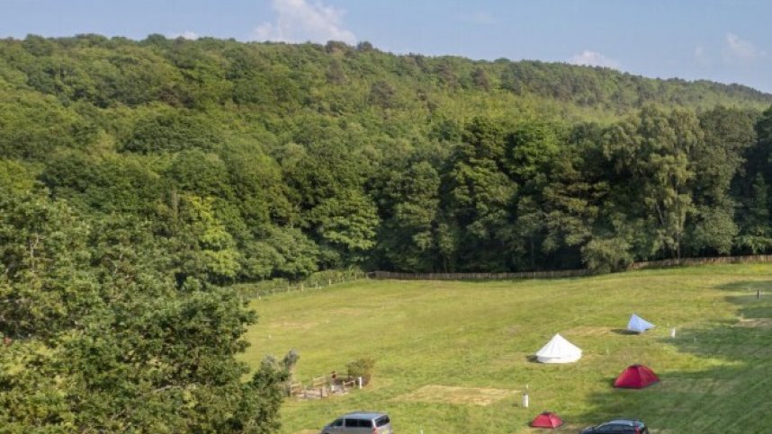
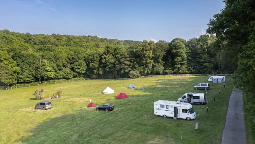
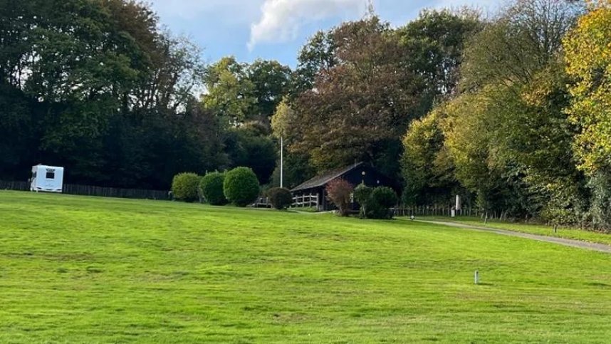
Oldbury Stay is in an idyllic spot within Styants Wood, opposite the Iron Age fort of the same name in a Kent Downs Area of Outstanding Natural Beauty. The area is also a Site of Special Scientific Interest. The area is ideal for walkers. Two way-marked circular walks pass over Oldbury Camp, the large Iron Age hill fort. The hill is now covered with woodland managed by the National Trust.
You can also walk from the site to Ightham Mote, a medieval moated manor house with a 14-acre garden and restaurant. It is a short car journey to Knole, a National Trust run English country house set in a deer park; Penshurst Palace and Gardens; the National Trust run Chartwell, the family home of Winston Churchill; the beautiful Emmetts Garden and Hever Castle and Gardens. You can also visit London by train from Borough Green and Sevenoaks stations. The site has 65 grass pitches, some with electric hook-up.
Facilities at Oldbury Stay Campsite
The site has a single toilet block with showers, washbasins & WC’s. Accessible sanitary facilities. Laundry. Dishwashing area. Information area. Telephone. Children’s play area. Ice pack freezer. Gas sales. Pets welcome. No dog walk. Wi-Fi free. Earliest time of arrival 13.00.
Accessibility
Directions to Oldbury Stay Campsite
From M25 eastbound J5, take A21 towards Sevenoaks/Tunbridge Wells. At Chipstead turn left A25. After Seal, turn left onto Styants Bottom Road; site is on the left. From north via M25/M20, leave M25 J3 for M20, then M20 J2 to A227. Turn right A25, then right Styants Bottom Road. From Maidstone via M20/M26, leave M26 J2a, take A20 to Wrotham Heath, then right A25 through Borough Green and right Styants Bottom Road. Approach from A25 only. Sat nav: use Styants Bottom Road, not postcode.
| Postcode | Latitude, Longitude | what3words (What is this?) | Directions (from your current location) |
|---|---|---|---|
| Postcode: TN15 0ET | Latitude, Longitude: 51.284501, 0.260408 | ///chief.tiny.hurt | Directions To Campsite Via Google Maps |
Campsite Google Map
The following consent is required:
Tracking & performance, Targeting & advertising.
Campsites Near-by
Other Campsites From The Camping and Caravanning Club