Ref: UK4418
Marbury Camp and Lodge
England, North West, Cheshire, Whitchurch
- Tel:
- +44 1948 502250
- Open:
- All Year


Alan Rogers Review of Marbury Camp and Lodge
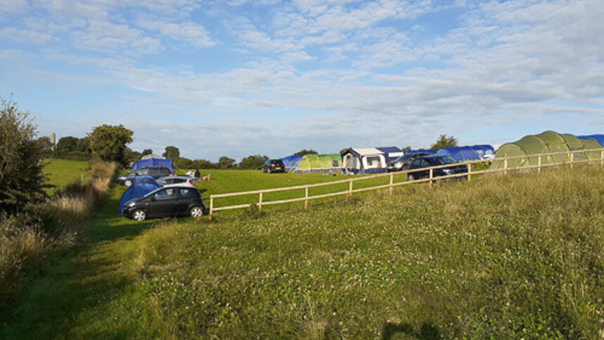
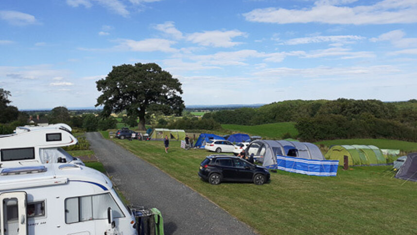
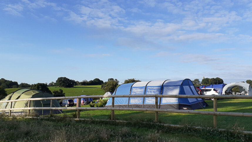
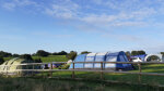
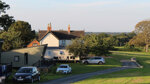
Marbury Camp and Lodge is a site that overlooks the breath-taking Cheshire Plains and is a small, open all year rural site close to the England Wales border. Guests can choose from 12 grass pitches with optional electric hook-up point 6amp and a picnic table. Or 12 fully serviced grass pitches with optional electric hook-up point 6amp and a picnic table. The site also has two fully furnished, uniquely designed glamping pod cabins available to hire. Head to Whitchurch nearby (15 minutes’ drive) or explore the many walking and biking routes, including the National Cycle Network Route 47 and the Sandstone Trail (bike hire is available). Local market towns of Whitchurch and Nantwich are only a 15-minute drive away. Guests are presented with a range of welcome packs, fire pits and cycle hire (subject to availability).
For a spot of sightseeing, set out to soak up the culture at several churches and castles nearby. For some gothic architecture head to Combermere Abbey (around 10 minutes' drive) or Cholmondeley Castle Gardens (about 15 minutes). The medieval Beeston Castle (20 minutes) comes with spectacular views and a 40-acre woodland park to amble about in. Several of the surrounding towns have a lot to offer here. As well as Whitchurch there's also Nantwich (15 minutes), known for its listed buildings and annual cheese show.
Facilities at Marbury Camp and Lodge
The toilet block has showers, washbasins and wc’s. Dishwashing area. Chemical toilet point. Hand dryers. Fire Pits available for hire. Freezer for ice packs. Cycle hire. Dogs allowed. Dog walk. BBQ’s allowed. Battery charging. Gas sales. Phone charging point. Golf, shop and riding nearby. Earliest arrival time 14.00.
Green Credentials
Directions to Marbury Camp and Lodge
From Whitchurch Bypass on the A41, at the roundabout junction with the B5395 join the B5395 Chester Road. Continue ahead through 2 roundabouts to join London Road B5395. At a crossroads turn left onto Claypit Street which soon changes to Alport Road. Bear right onto Mile Bank Road and pass Whitchurch Cemetery and Mile Bank Farm. When the road forks bear left. Next turn right onto Hollins Lane. At a T junction turn right onto Hollyhurst Road the site is on the right off this road.
| Postcode | Latitude, Longitude | what3words (What is this?) | Directions (from your current location) |
|---|---|---|---|
| Postcode: SY13 4LY | Latitude, Longitude: 53.003621, -2.628132 | ///mainframe.purified.hardback | Directions To Campsite Via Google Maps |
Campsite Google Map
The following consent is required:
Tracking & performance, Targeting & advertising.
Campsites Near-by