Ref: DE37790
Camping Süduferperle
Germany, Mecklenburg-West Pomerania, Raben Steinfeld
- Tel:
- +49 3860 312
- Open:
- Start April - Start October.


Alan Rogers Review of Camping Süduferperle
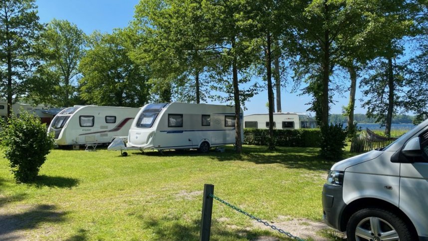
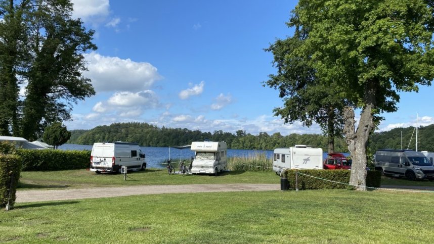
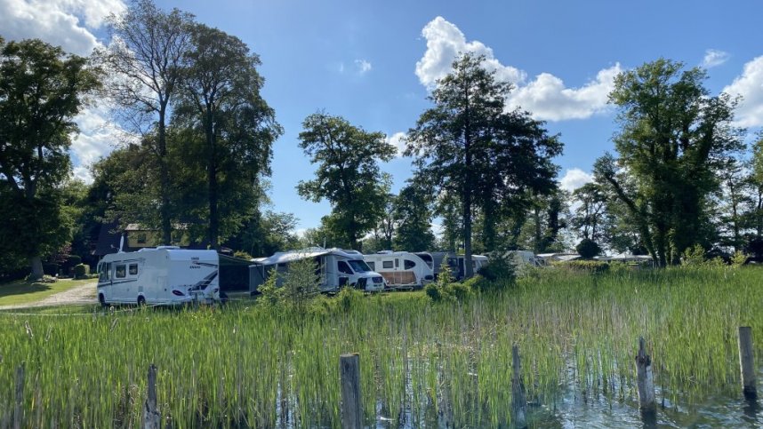
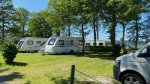
Camping Süduferperle is located on meadows with predominantly older trees on a peninsula with a reed-covered shore. The two-hectare site is in the forest by the lake and has 80 pitches including two tent meadows, one of which is directly on the water. On the site there is a diving centre with diving school as well as a marina. As you are only 9 km from the city centre of Schwerin, cyclists and hikers can explore the beautiful landscape on small and larger tours. Lake Schwerin, the fourth largest lake in Germany, offers fantastic conditions for all water sports enthusiasts. The Baltic Sea is also on the doorstep for a joyride, so to speak. For holidaymakers and locals, the Schwerin Lake District is an unspoilt and scenically unique water sport reservoir for sailing, surfing, fishing and swimming. The site has 46 touring pitches.
Facilities at Camping Süduferperle
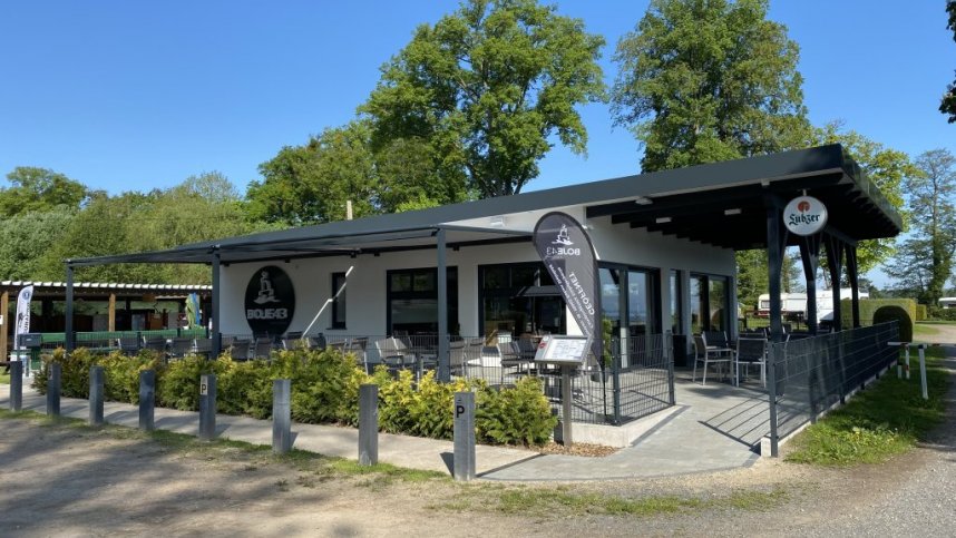
The toilet block has showers, washbasins and wc’s. Accessible facilities. Baby room. Dish washing area. Laundry with washing machine and dryer. Motorhome service point. Chemical toilet point. Restaurant. Takeaway. Restaurant nearby. Fresh bread to order. Shop nearby. Wi-Fi all site. Kitchenette. Slipway. Sauna. Children’s playground. Indoor swimming pool nearby. Dogs and BBQ’s allowed. Golf course nearby.
Accessibility
Directions to Camping Süduferperle
From the Hamburg-Berlin A14 motorway take the Schwerin-Ost exit, then the B321 in the direction of Schwerin. Turn right onto Charlottenberg. Next, please do not use the road through Kastanienallee as recommended by Sat Nav. Continue straight on the main road over the roundabout, take the second exit and then turn left after about 100m into the forest road. The site is signed.
| Postcode | Latitude, Longitude | what3words (What is this?) | Directions (from your current location) |
|---|---|---|---|
| Postcode: D-19065 | Latitude, Longitude: 53.60432, 11.49719 | ///loathes.recursive.shape | Directions To Campsite Via Google Maps |
Campsite Google Map
The following consent is required:
Tracking & performance, Targeting & advertising.
Campsites Near-by