Ref: FR14345
Camping Sous les Pommiers
France, Normandy, Calvados, Trévières
- Tel:
- +33 02 31 92 89 24
- Open:
- End March - End October.

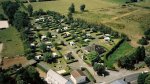


Alan Rogers Review of Camping Sous les Pommiers
Camping Sous les Pommiers is certainly a fitting description for this peaceful site just outside Trévières in the Calvados region, after all the region is most well-known for its apple products. It’s a mere five minutes’ walk to the village for shops and places to eat, but life on site is all about the greenery and fresh air. The landscape all around is that of the Cotentin Marshes, and it’s easy to explore by hiring bikes from the site or signing up for kayak trips. There’s a riding centre next door if you’d prefer to get out on horseback.
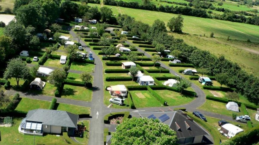
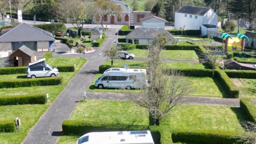
Aiming a little further afield, it’s a journey of roughly 10 kilometres to get to the coast at Omaha Beach or to hit forest hiking trails, and of course there are plenty of cider farms to keep you refreshed as you tour the area. The site has 80 grass pitches 74 of which are for touring units. 6 lodge tents or log cabins are also available to hire.
Facilities at Camping Sous les Pommiers
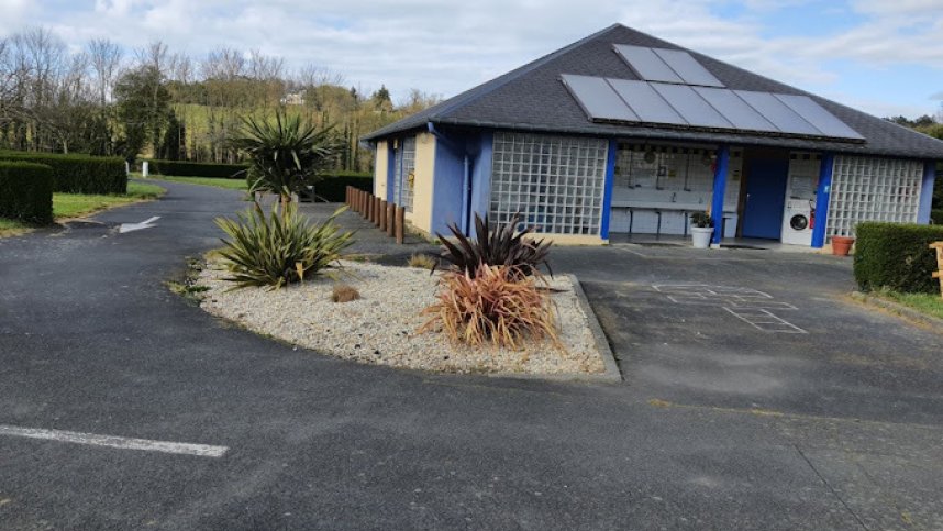
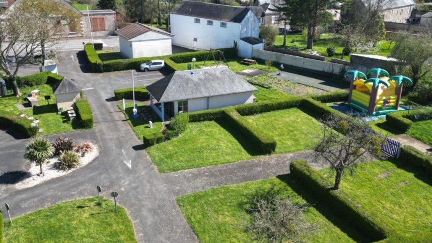
The toilet block has showers, washbasins and WC's. Accessible facilities. Dishwashing area. Laundry with washing machine. Baby room. Chemical toilet point. Kitchen area. Microwave. Freezer for ice packs. Free Wi-Fi. Children’s playground. Bouncy castle. Table tennis. Boules court. Bicycle hire, TV room. Library. Dogs and BBQ’s allowed but not charcoal. Defibrillator. ATM. Bike hire. Petrol station adjacent.
Accessibility
Directions to Camping Sous les Pommiers
From the E46/N13 Take the D30 exit towards Trévières. Stay on the D30. Bear right onto Rue du Pont de la Barre D30 and the site is on the right off this road.
| Postcode | Latitude, Longitude | what3words (What is this?) | Directions (from your current location) |
|---|---|---|---|
| Postcode: F-14710 | Latitude, Longitude: 49.313191, -0.906258 | ///trooping.wellies.delegated | Directions To Campsite Via Google Maps |
Campsite Google Map
The following consent is required:
Tracking & performance, Targeting & advertising.
Campsites Near-by