Ref: FR25130
Camping le Miroir
France, Franche-Comté, Doubs, Les Hopitaux-Neufs
- Tel:
- +33 3 81 49 10 64
- Open:
- Mid December - Early October.


Alan Rogers Review of Camping le Miroir
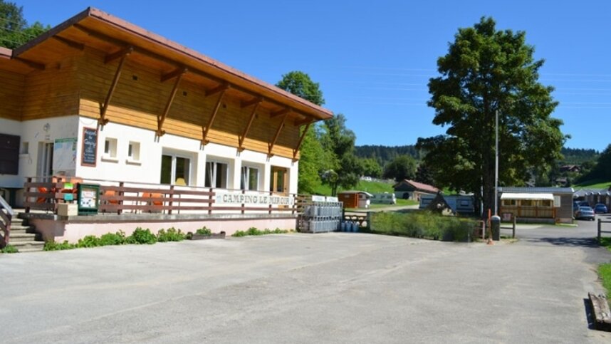
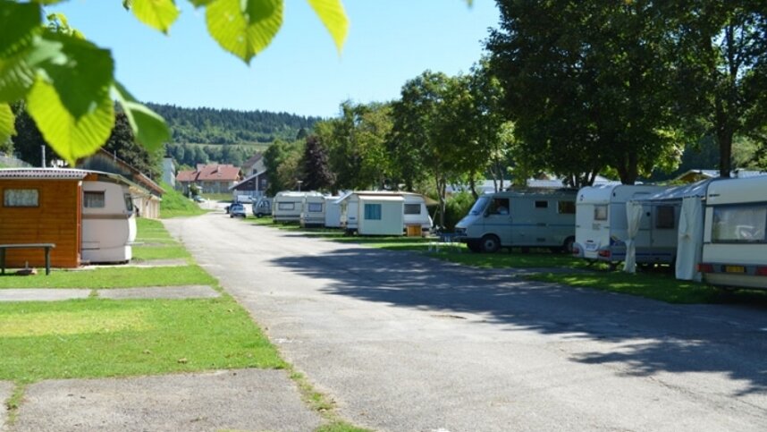
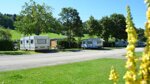
Camping Le Miroir is a quiet site in the village of Les Hôpitaux-Neufs in the Alps, at an altitude of 1000 metres and close to the Switzerland/France border. The village is in a valley of fields and fir forests overlooked by the Mont d'Or massif. There is plenty to do in the surrounding area, whatever the season. In summer, you will have easy access to hiking and cycle paths and other outdoor activities such as horse riding, archery and water sports, including windsurfing, kayaking and paddleboarding.
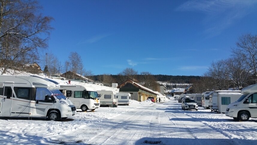
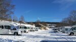
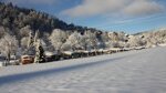
In winter, there is downhill skiing from Métabief ski station, a kilometre away, and cross-country skiing, snowshoeing and other activities. The village of Hôpitaux-Neufs is the commercial centre of the resort of Métabief. Located between the Mont d'Or massif and the Herba massif, the territory is covered with meadows, pastures and forests. Amenities at the site include free WiFi, a laundry, a dishwashing area and a toilet/shower block with accessible facilities. The site has 41 touring pitches. There are also 33 mobile homes and chalets, of which nine are available to hire.
Facilities at Camping le Miroir
The heated toilet block has showers, washbasins and WCs. Accessible facilities. Chemical toilet point. Laundry. Dishwashing area. Children’s play area. Table tennis. Multi-sports pitch. WiFi zone. Restaurant. Bar. Bakery, supermarket, butcher, post office, newsagent and electric car charging points nearby. Dogs allowed.
Accessibility
Green Credentials
Directions to Camping le Miroir
From the N57/E23 Pontarlier/Vallorbe road leave at the junction with D45 and D9 and at the roundabout join the D9. Follow the D9 to the town and at a T junction turn right to continue on D9. The site is the on the left off this road.
| Postcode | Latitude, Longitude | what3words (What is this?) | Directions (from your current location) |
|---|---|---|---|
| Postcode: F-25370 | Latitude, Longitude: 46.774078, 6.367506 | ///washing.inferiority.fantastical | Directions To Campsite Via Google Maps |
Campsite Google Map
The following consent is required:
Tracking & performance, Targeting & advertising.
Campsites Near-by