Ref: FR61090
Camping de la Rouvre
France, Normandy, Orne, Ménil-Hubert-sur-Orne
- Tel:
- +33 2 33 64 82 40
- Mobile:
- +33 7 70 65 65 44
- Open:
- 25 March - 14 October.


Alan Rogers Review of Camping de la Rouvre
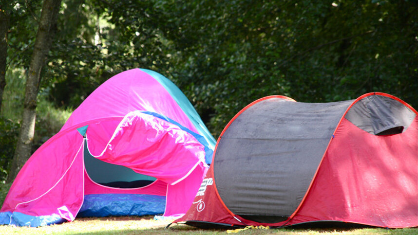
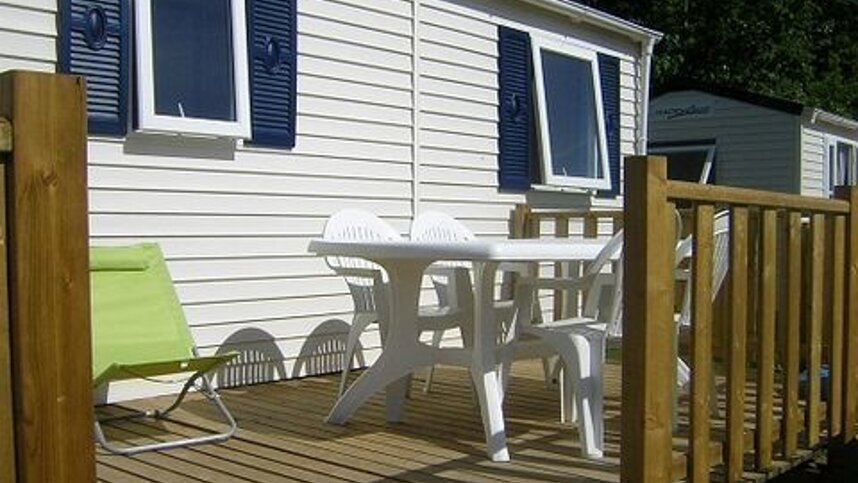
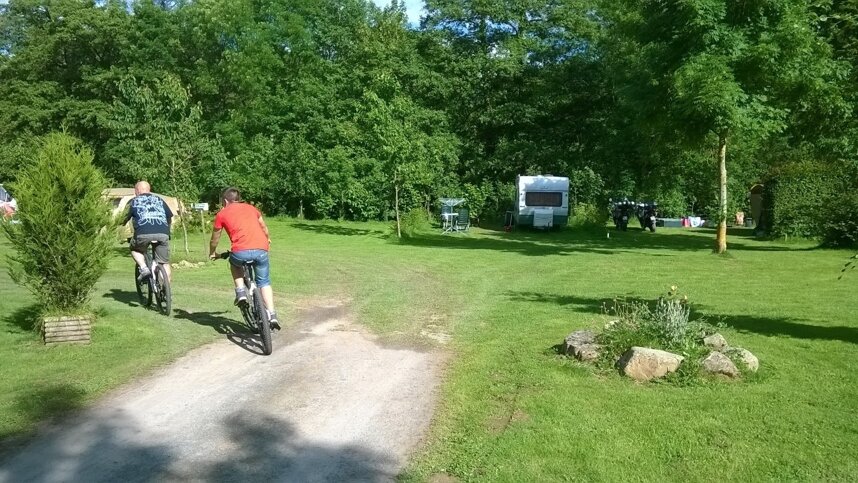
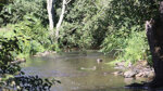
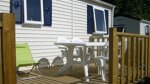
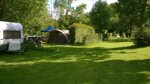
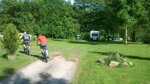
Camping de la Rouvre is set on the banks of the River Rouvre, 2 km. from its confluence with the River Orne. There are 17 grassy touring pitches (ten adjacent to the river), almost all with 16A electricity (long leads required) and separated by hedges. An open field accommodates a further 30 units. There are two tents and a wooden chalet for hire. The site is convenient for several ferry ports, with the famous tourist sites of Mont Saint-Michel, Caen, Bayeux, the Normandy landing beaches and the most beautiful treasures of Calvados on the doorstep. The Roches d’Oëtre is a walkers’ paradise, with eight walking routes starting from the site. Nearby is the 1,000-kilometre GR36 long-distance footpath running from the English Channel to Spain. The local gorges are a haven for wildlife, and the 150-metre high cliffs, steep rocks and deep gorges, has earned the area the nickname ‘The Switzerland of Normandy’.
Facilities at Camping de la Rouvre
One clean sanitary block has adequate provision with hot showers, one private cabin and accessible facilities (gravel path). Washing machine. Boules. Communal barbecue. Fishing. Bouncy castle. Bicycle hire. WiFi throughout (charged).
Directions to Camping de la Rouvre
From Caen take N158 south towards Falaise then exit D511 towards Pont d’Ouilly. Turn left onto D25 until Menil-Hubert-sur-Orne.
| Postcode | Latitude, Longitude | what3words (What is this?) | Directions (from your current location) |
|---|---|---|---|
| Postcode: F-61430 | Latitude, Longitude: 48.84327, -0.39821 | ///fame.astronomers.nudge | Directions To Campsite Via Google Maps |
Campsite Google Map
The following consent is required:
Tracking & performance, Targeting & advertising.
Campsites Near-by