Ref: UK3813
Swallow Holme Camping & Caravan Park
England, Heart of England, Derbyshire, Hope Valley
- Tel:
- +44 1433 650981
- Open:
- Early March - Early November

Alan Rogers Review of Swallow Holme Camping & Caravan Park
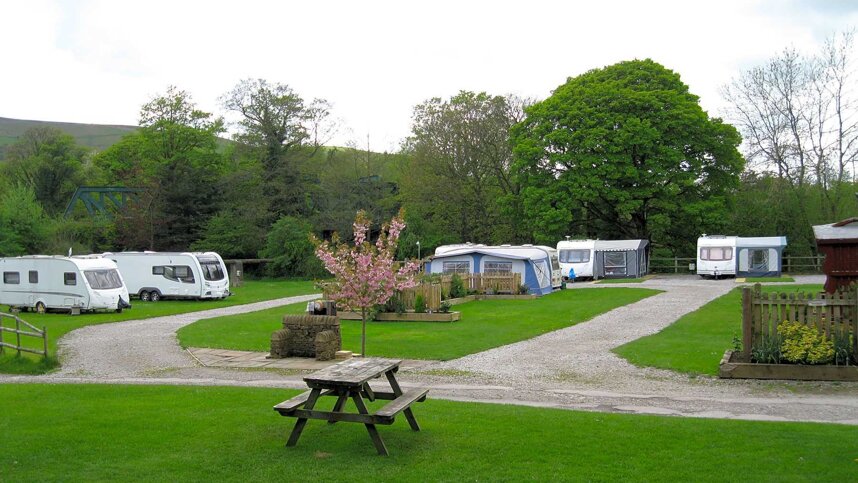
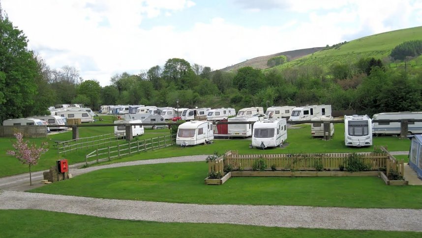
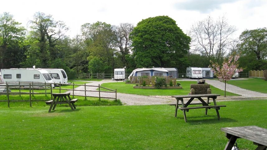
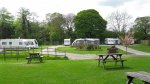
Swallowholme Camping and Caravan Park is in the Hope Valley within the Peak District National Park. On the edge of the village of Bamford, the site is within walking distance of Bamford Station and two garden centres with cafés. Hathersage is only five minutes away by car, where there is an outdoor heated swimming pool.
In addition to the seasonal caravan pitches, the reasonably flat site has 45 grass pitches or hardstanding pitches with electric hook-up points available for motorhomes and caravans. The site does not have a children's play area and, due to the small size of the site, bike riding and ball games are not permitted. However there is a recreation ground and children s play area in the village, not far from the site.
Trout and grayling fishing is permitted (licence required) in the River Derwent, which runs past the site. Swallowholme is a great site to use as a walking base and see plenty of wildlife and many species of wild birds around. Stanage Edge is not far away - a magnet for rock climbers. The Ladybower Reservoir is a pleasant walk from the site, mainly off-road following the Thornhill Trail.
Facilities at Swallow Holme Camping & Caravan Park
Single toilet block with showers, washbasins & WC’s. Dishwashing area. Laundry sink. Chemical toilet point. 24 hour mini-market nearby. Public House 1 mile, Café, Post Office. Recreation Ground with children’s play short walk from site. Sickleholome Golf Course 100 yards. Bus stops close by and train station. Wi-fi charged. Dogs not accepted.
Directions to Swallow Holme Camping & Caravan Park
From Sheffield: Take the A625 in the direction of Ecclesall to Hathersage. On leaving Hathersage in approx. 2 miles turn right at the Sicklehome Service Station. Swallowholme is situated over the railway bridge 175 yards along the road to your left. From the M1: Take Junction 29 to Chesterfield on the A617, then the A619 in the direction of Bakewell. At Baslow take the A623 to Calver. Turn right at the traffic lights onto the A625 to Grindleford. Turn left in the centre of the village onto the B6521 to Hathersage. In Hathersage turn left. Then follow directions from Hathersage as above.
| Postcode | Latitude, Longitude | what3words (What is this?) | Directions (from your current location) |
|---|---|---|---|
| Postcode: S33 0BN | Latitude, Longitude: 53.341102, -1.690989 | ///precluded.toenail.dabbled | Directions To Campsite Via Google Maps |
Campsite Google Map
The following consent is required:
Tracking & performance, Targeting & advertising.
Campsites Near-by