Ref: FR85537
Le Cormier
France, Val de Loire, Indre, Obterre
- Tel:
- +33 8442327271
- Open:
- All Year
Alan Rogers Review of Le Cormier
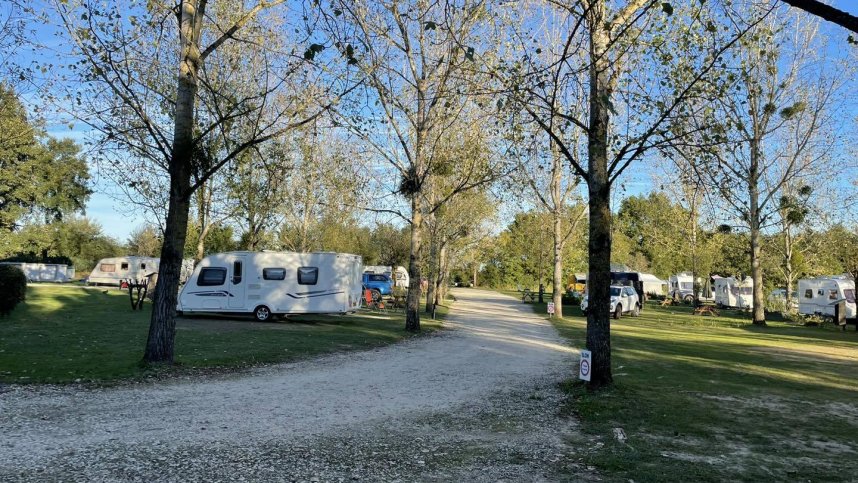
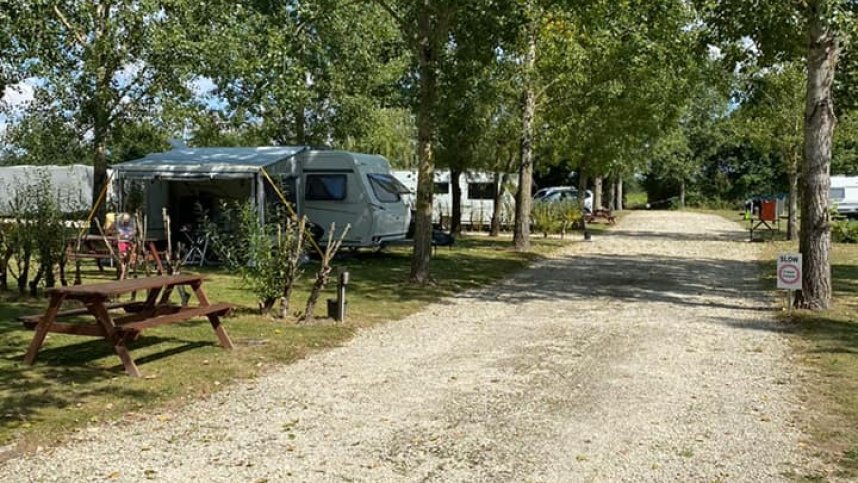
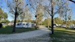
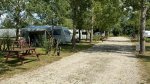
Camping Le Cormier is situated in a grassy meadow of approx. 4 acres within a 10 acre site close to the owners' main property. The meadow has a boundary of trees making it a peaceful and tranquil setting surrounded by rolling countryside, a natural haven for various species of birds and wildlife. The camping area has large (approx. 180sq metres) grassy level pitches for 12 caravans, tents or motorhomes. Most pitches have trees & bushes providing shade for those warm hot sunny days and other pitch options with electricity hook-up for flexibility and choice. There is also a separate semi hard-standing area having a minimum 10 amp power supply (long lead required) available away from the main campsite area.
The site is ideally positioned as a stop-off point when heading to the south of France, Spain or Portugal, having motorway junctions approximately 30 minutes away – the A10 motorway to the west (direction Bordeaux) and the A20 to the east (direction Toulouse). Le Cormier was formerly a working farm dating back to around the 17th century situated in the small village of Obterre, in the Loire Valley on the northern tip of the beautiful ‘Brenne Parc Naturel Regional’, known as the “land of a thousand lakes” - simply, a wildlife paradise in this unspoiled area of the Berry / South Touraine.
Facilities at Le Cormier
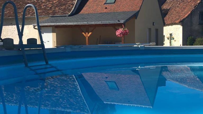
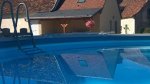
Toilet & shower facilities. Laundry & tumble drier facilities (for a small fee). Book exchange / library and information literature. Fridge hire. Table tennis and darts. Above ground splash pool. Pets are welcome (requested dogs always kept on a lead around the campsite and main building). The site staff can book an appointment for you at a local vet. Wi-Fi free. All pitches have access to Astra 2 Satellite connection. Chemical toilet point, ONLY bio-degradable fluid can be used. A long hook-up lead is recommended. Caravan/motorhome storage.
Accessibility
Green Credentials
Directions to Le Cormier
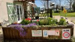
From the north, head for Tours and exit the A10 at junction 23 or 24 and head for Loches taking the N143/D943. On the outskirts of Loches, follow the signs for Chateauroux (N143/D943 again) & Chatillon, go through the village of Perrusson and travel about 500 metres taking the right turn (D41) signposted Verneuil-sur-Indre & St Flovier. Go through Verneuil and on to St Flovier – take care here as it is easy to miss the signs for Obterre (6kms away) - head out of the village (on D21) and after 400 metres turn right on to the D14 for Obterre – the site is on the outskirts before entering the village, on the left-hand side (look out for the ‘roofed’ sign) opposite a wood yard. From the south head for Chatauroux. Take the D925 going though, Vendoeuvres, Mezieres-en-Brenne and on to Azay-le-Ferron. (It is suggested you ignore any signs for Obterre at this stage otherwise you will be taken ‘cross-country’). At the round-about go straight on and pass through Azay-le-Ferron, leaving the Chateau on the left-hand side & heading for Preuilly-sur-Claise. Just before leaving the village, take the right turn sign posted Obterrre 8 kms (D14). Arrive at Obterre village and stay on the D14 going up the hill out of the village heading for Saint Flovier – the site is 300 metres from the village on the right-hand side (look out for the ‘roofed’ sign) opposite a wood yard.
| Postcode | Latitude, Longitude | what3words (What is this?) | Directions (from your current location) |
|---|---|---|---|
| Postcode: F-36290 | Latitude, Longitude: 46.919822, 1.036339 | ///cocktails.tomorrows.jangle | Directions To Campsite Via Google Maps |
Campsite Google Map
The following consent is required:
Tracking & performance, Targeting & advertising.
Campsites Near-by