Ref: NL7030
Kampeerterrein De Vier Bannen
Netherlands, Zeeland, Ouwerkerk
- Tel:
- +31 111 642 044
- Open:
- 15 March - 31 October.

Alan Rogers Review of Kampeerterrein De Vier Bannen
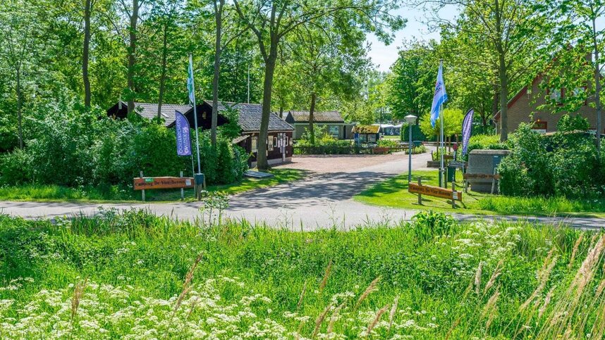
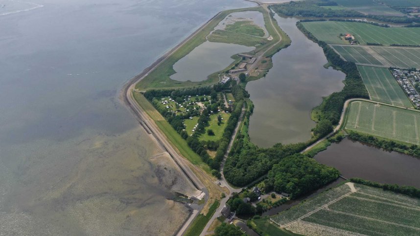
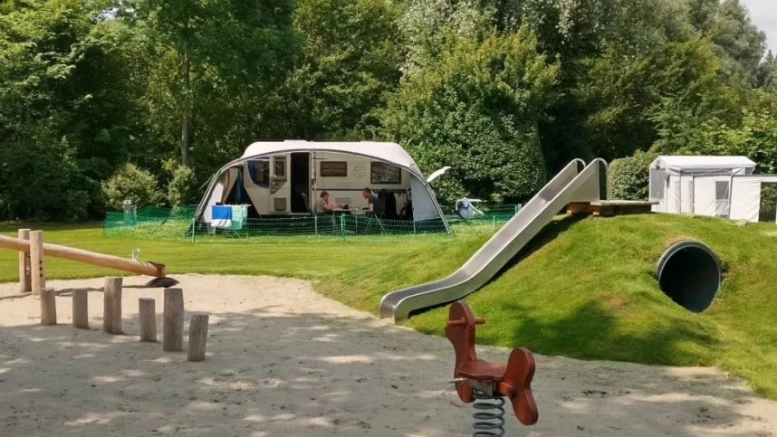
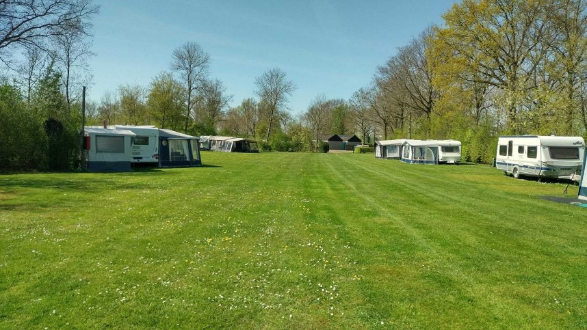
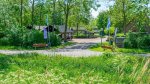
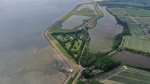
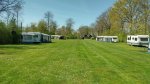
De Vier Bannen is located in a beautiful forested area with extensive stretches of water created by the flood of 1953. There are 170 spacious pitches, including 100 comfort pitches equipped with WiFi, water, drainage and electricity (4/16A). They are spread over several fields, surrounded by trees and shrubs. On-site amenities for children include a bouncy castle and a range of play equipment, as well as a nature trail and park to develop their knowledge of the environment. There is a pub/restaurant adjacent to the site. Close by is a small sandy beach from where you can swim in the Eastern Scheldt (Oosterschelde). The area is perfect for fishing, diving, canoeing, kayaking, kiting, surfing, hiking and cycling along the Oosterschelde.
The nearby Flood Museum, which is housed in four Mulberries (artificial harbour) used in the D-Day landings at Arromaches, charts the history of the catastrophic flood of 1953 and should not be missed. Old Zierikzee is one of the finest harbour cities in Zeeland and home to some magnificent monuments, while Brouwershaven and Bruinisse are also well worth a visit, not to mention the beautiful Westenschouwen Forest. Many excursions are available for those wanting to explore the forest and habitats of Schouwen-Duiveland.
Facilities at Kampeerterrein De Vier Bannen
Single toilet block includes showers and open style washbasins. Accessible Facilities. Motorhome services. Laundry. Play equipment. Nature trail. WiFi over part of site (charged). Mobile homes for rent. Dogs are not accepted.
Directions to Kampeerterrein De Vier Bannen
Follow the N59 Rotterdam-Zierikzee and take exit Ouwerkerk (2 km. east of Zierikzee). From there follow the ANWB camping signs.
| Postcode | Latitude, Longitude | what3words (What is this?) | Directions (from your current location) |
|---|---|---|---|
| Postcode: NL-4305 RJ | Latitude, Longitude: 51.61783, 3.98668 | ///reuses.boatload.deep | Directions To Campsite Via Google Maps |
Campsite Google Map
The following consent is required:
Tracking & performance, Targeting & advertising.
Campsites Near-by