Ref: DK2419
Dancamps Holmsland
Denmark, Jutland, Hvide Sande
- Tel:
- +45 97 31 13 09
- Open:
- End March - End September.

Alan Rogers Review of Dancamps Holmsland
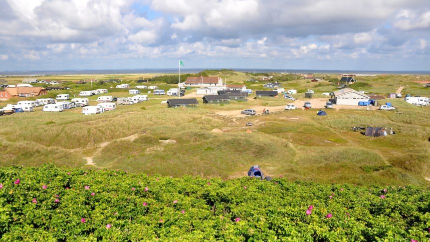
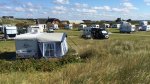
Dancamps Holmsland is a simple little site in Hvide Sande, Central Jutland. The site gives you an authentic experience, where you stay in the middle of a protected dune area - very close to the North Sea and Ringkøbing Fjord. Here, you will find a peaceful and quiet stay within dunes as far as the eye can see. Spend the day walking along the beach or riding a bike ride along Denmark's National Cycle Route into Hvide Sande. It is about 5 km to the lively centre of the harbour town of Hvide Sande, where you will find many shops and restaurants.
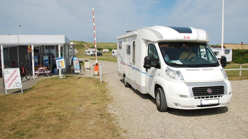
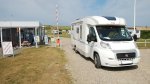
The site has 112 grass pitches, of which 92 are for touring units and have a 10-amp hook-up point; there are also 10 accommodation options available to hire. The pitches are spread over spacious dunes and grass. The site includes the boathouse, an indoor meeting place for all campsite guests to use for social gatherings. It has a pleasant atmosphere and is also surrounded by high dunes making it an ideal relaxing area for friends and family to enjoy.
Facilities at Dancamps Holmsland
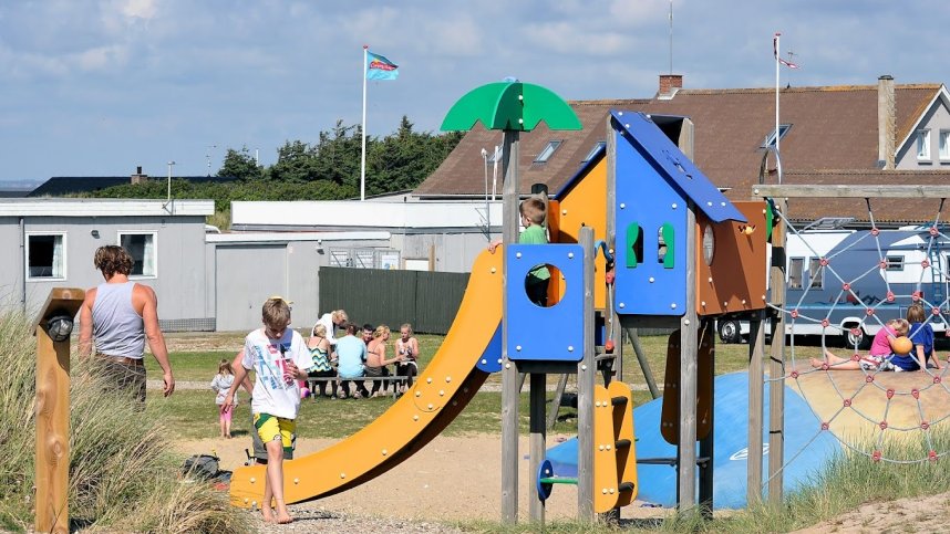
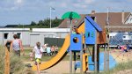
The heated toilet block has showers, wash basins and wc’s. Accessible facilities. Baby room. Chemical toilet point. Dish washing area. Laundry. Motorhome service point. Fresh bread. Small shop. Freezer for ice packs. Microwave. Wi-Fi free. Dogs and bbq’s allowed. Sea swimming and sandy beach nearby. Windsurfing nearby. Children's play area. Games room. Bouncy castle. TV room. Public transport nearby.
Accessibility
Directions to Dancamps Holmsland
From the E20 at junction 73 take R11 towards Varde. South of Varde turn right onto R12. At the Grindated junction bear right and shortly right again to join the R487 and then the R481. West of the town turn right to join the R431. Next bear right to rejoin the R181 to Outrub and Nymindegab. Continue on the coastal road 181 and about 5 km south of Hvide Sande near a bus stop, turn left to join the 'Søholmvej' road. The site is at the end of this road.
| Postcode | Latitude, Longitude | what3words (What is this?) | Directions (from your current location) |
|---|---|---|---|
| Postcode: DK-6960 | Latitude, Longitude: 55.96253, 8.14234 | ///scarves.migrate.bubble | Directions To Campsite Via Google Maps |
Campsite Google Map
The following consent is required:
Tracking & performance, Targeting & advertising.
Campsites Near-by