Ref: FR01030
Camping les Ripettes
France, Rhône Alpes, Ain, Pont-de-Vaux
- Tel:
- +33 3 85 30 66 58
- Open:
- 1 April - 30 September.

Alan Rogers Review of Camping les Ripettes
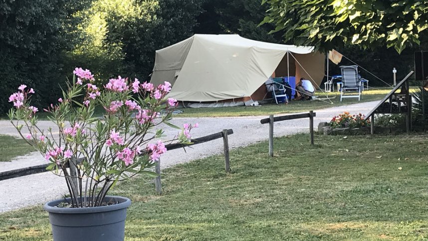
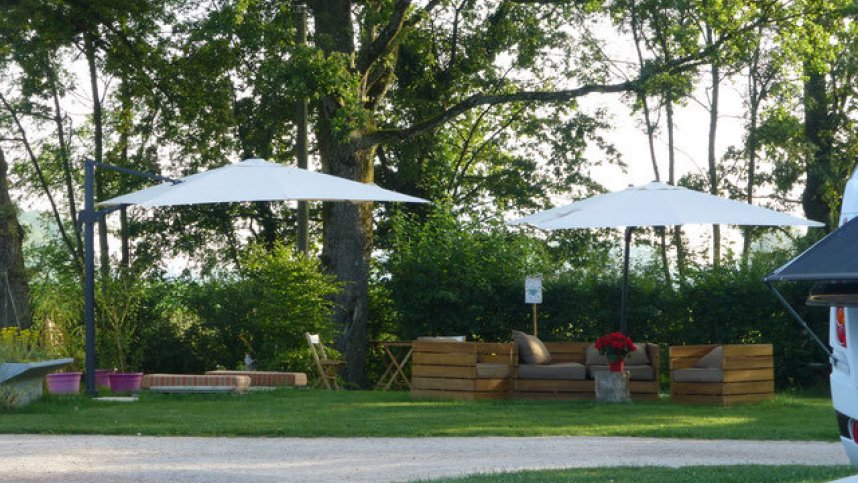
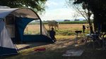
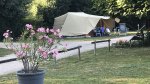
A friendly welcome is assured from the owners of this spacious site situated in quiet, flat countryside near the pleasant small town of Pont-de-Vaux. The 2.5 hectare (six-acre) site has 54 large (100-400 sq.m), level, grassy pitches, all of which are available to tourers. Almost all are separated by hedges and most are shaded by trees. All but three have electrical connections (10A) and water. Because of its friendly and tranquil atmosphere, the site is popular with English and Dutch visitors alike, who choose to break their journey here for several days to or from the South of France.
There are local farmers’ markets. The historic towns of Macon and Tournus are each about 20 km. away, and Bourg-en-Bresse and the vineyards of Beaujolais, Maconnais and Chalonnais are all within 40 km.
Facilities at Camping les Ripettes
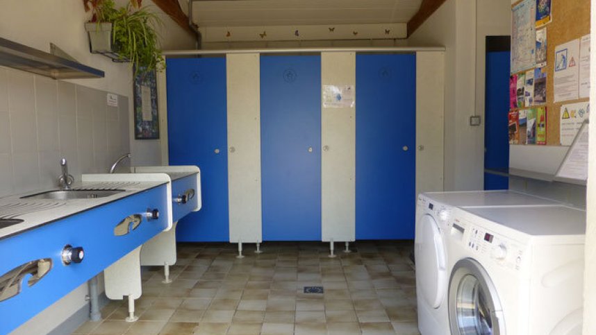
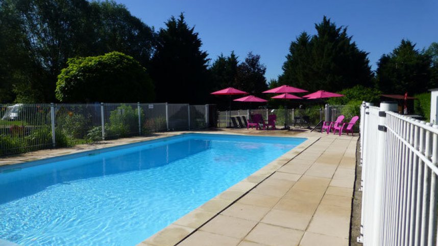
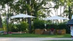
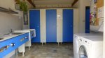
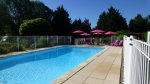
Two well appointed, small sanitary blocks contain an accessible suite. Washing machine and dryer. Limited range of food stocked and wine and ice-cream at reception. Two swimming pools. Play area. Areas for ball games. Board games, books. Free WiFi over part of site.
Directions to Camping les Ripettes
Site is 18 km. northeast of Macon. Leave N6 at Fleurville (14 km. south of Tournus). Go east on D933A to Pont-de-Vaux (5 km). In town turn left briefly onto D933 then take D2 east towards St Trivier-de-Courtes. After 3 km. turn left after water tower, then almost immediately left again (100 m). Site is 300 m.
| Postcode | Latitude, Longitude | what3words (What is this?) | Directions (from your current location) |
|---|---|---|---|
| Postcode: F-01190 | Latitude, Longitude: 46.44455, 4.98067 | ///frown.frog.murmured | Directions To Campsite Via Google Maps |
Campsite Google Map
The following consent is required:
Tracking & performance, Targeting & advertising.
Campsites Near-by