Ref: FR34640
Camping les Cerisiers du Jaur
France, Languedoc-Roussillon, Hérault, Saint Pons-de-Thomières
- Tel:
- +33 4 67 95 30 33
- Other:
- +33 6 42 44 49 45
- Open:
- Early April - Mid October.


Alan Rogers Review of Camping les Cerisiers du Jaur
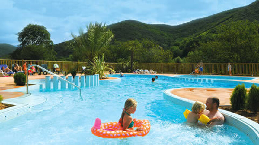
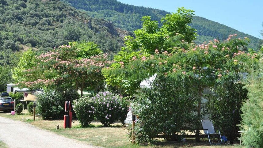
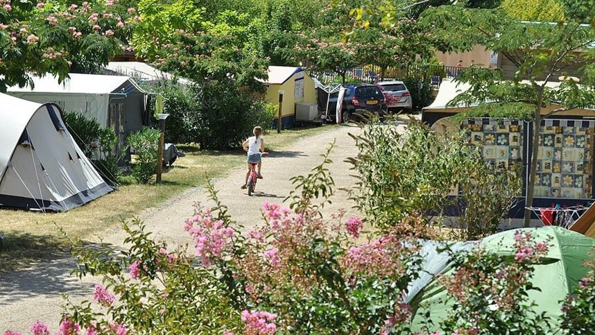
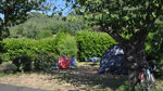
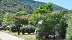
Saint Pons-de-Thomières lies in a valley in the Parc Régional du Haut Languedoc, just east of the village. The owners have worked hard to develop it, adding an attractive pool area and extra pitches. The original part of the site has pitches in the shade of old cherry trees, while the newer section is more open, but with new planting.
Eighty-eight of around 110 touring pitches have water, 10-16A electricity and drainage. A simple bar area has been created above the pool complex, which is very attractive. The Jaur river running alongside the campsite has a number of little cascades, is a great fishing spot and a new sandy beach has been made.
Between the river and the campsite, a recreation area is being developed with a volleyball pitch, table tennis and pétanque.
Just across the road is a former railway line, which used to run for 75 km. from Bédarieux to Mazamet. La Voie Verte, as it is now known, provides a level green track ideal for cycling or horse riding, or just for a stroll into the village where you will find two small supermarkets, several bars and restaurants.
Facilities at Camping les Cerisiers du Jaur
Fully equipped toilet blocks with facilities for children and accessible facilities. 10 pitches have their own private sanitary facility. Washing machine. Motorhome services. Swimming and paddling pools, spa area. Playground. Morning bread delivery. Pizza delivery. Communal barbecue. Ice-creams and fresh drinks. Chalets, mobile homes and a Romany-style caravan for hire. WiFi (1st hour free).
Green Credentials
Directions to Camping les Cerisiers du Jaur
From A9 exit 36 (Béziers Ouest), head north on D64 then D612 Mazamet and St Pons. Before village, turn north on D908 Olargues. Site is on right in 500 m. past block of flats.
| Postcode | Latitude, Longitude | what3words (What is this?) | Directions (from your current location) |
|---|---|---|---|
| Postcode: F-34220 | Latitude, Longitude: 43.4905, 2.7852 | ///inspire.thingy.rescues | Directions To Campsite Via Google Maps |
Campsite Google Map
The following consent is required:
Tracking & performance, Targeting & advertising.
Campsites Near-by