Ref: FR30610
Camping le Fief d'Anduze
France, Languedoc-Roussillon, Gard, Anduze
- Tel:
- +33 4 66 61 81 71
- Open:
- Start April - End September


Alan Rogers Review of Camping le Fief d'Anduze
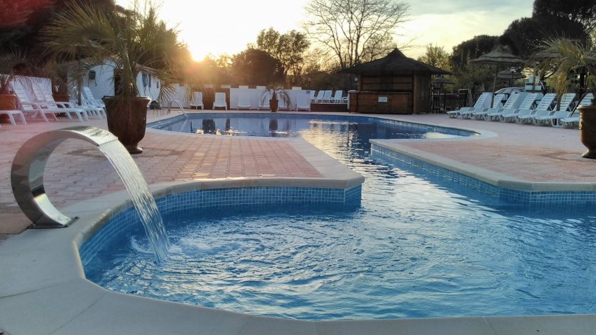
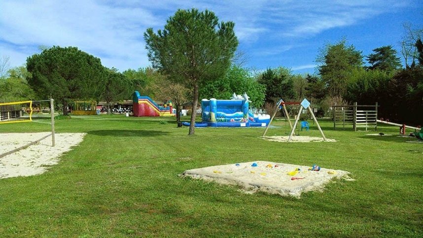
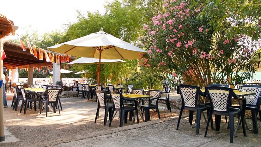
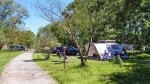
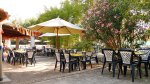
Camping le Fief d'Anduze is located in southern France between Cevennes and the Mediterranean. Fief is an old French word which can be translated as heathland. Enjoy the lake on the edge of the site or the river with private pedestrian access. There are 2 heated outdoor swimming pools and a children's pool open in mid and high season. One of the pools is reserved for relaxation and heated, while in the other you can practice the water games that the site arranges. You will also have access to a sports field and a weight room. 2 bouncy castles and a trampoline. Children’s play area and a Boules pitch. After all this activity why not visit the Bar, Restaurant, Pizzeria, open from April to end of the season. Finally, there is also the wellness centre 01/04where you can enjoy the hammam, sauna and Jacuzzi.
Facilities at Camping le Fief d'Anduze
The toilet block has showers, washbasins and wc’s. Baby room. Accessible Facilities. Chemical toilet point. Laundry with washing machine. Chemical toilet point. Shop. Bread to order. 2 heated swimming pools and a children's pool. Sports field. Weight room. 2 bouncey castles. Trampoline. Children’s play area. Boules pitch. Table tennis. Games room. TV room. Bar. Restaurant. Snack bar. Takeaway. Pizzeria. Wellness centre with hammam, sauna and Jacuzzi. Free Wi-Fi. Freezer for ice packs.
Accessibility
Directions to Camping le Fief d'Anduze
From the N104 at junction 4 take the D982 to Maruejols-les-Gardon, Cardet and Massillargues-Atuech. At the large roundabout on the edge of the town, take the first exit onto Rue Chabrol. Continue to a T junction and turn right onto Chemin du Plan d’Eau. The site is on the left off this road.
| Postcode | Latitude, Longitude | what3words (What is this?) | Directions (from your current location) |
|---|---|---|---|
| Postcode: F-30140 | Latitude, Longitude: 44.02653, 4.02765 | ///blinkers.sunken.sloppily | Directions To Campsite Via Google Maps |
Campsite Google Map
The following consent is required:
Tracking & performance, Targeting & advertising.
Campsites Near-by