Ref: FR38140
Camping le Colporteur
France, Rhône Alpes, Isère, Le Bourg-d’Oisans
- Tel:
- +33 4 76 79 11 44
- Open:
- Start April - End September.

Alan Rogers Review of Camping le Colporteur
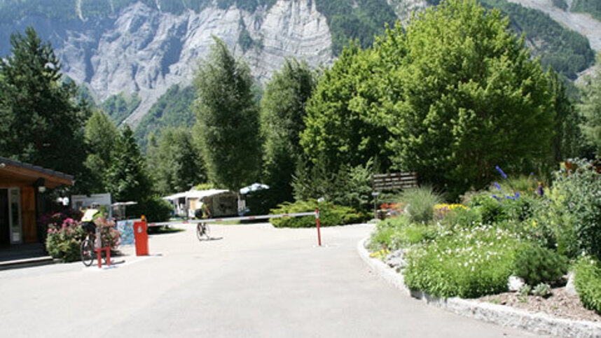
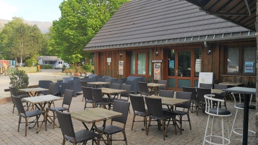
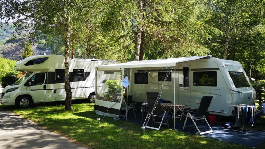
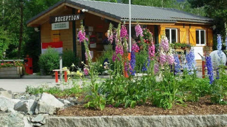
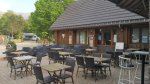
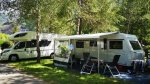
Le Colporteur is within a few minutes level walk of an attractive market town and ski resort, making this an ideal spot for motorhome owners. There are 150 level grassy pitches, 120 for touring. All pitches have 16A electricity and rock pegs are advised. They are mostly separated by hedging and a variety of mature trees that offer some shade. There is no pool on site but campers have free entry to the adjacent municipal pool. In July and August the attractive bar/restaurant is the focal point for evening activities.
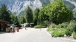
Le Bourg-d’Oisans is in the largest national park in France. It is at an altitude of 700 m. and is surrounded by high mountains making it a real suntrap. The days can be very hot, especially in summer. The area is revered by serious cyclists as several mountain roads close by are regularly used by the Tour de France. This is an ideal base for exploring this scenic region with its abundance of wild flowers, old villages and rushing waterfalls; by car, on foot or by bike.
Facilities at Camping le Colporteur
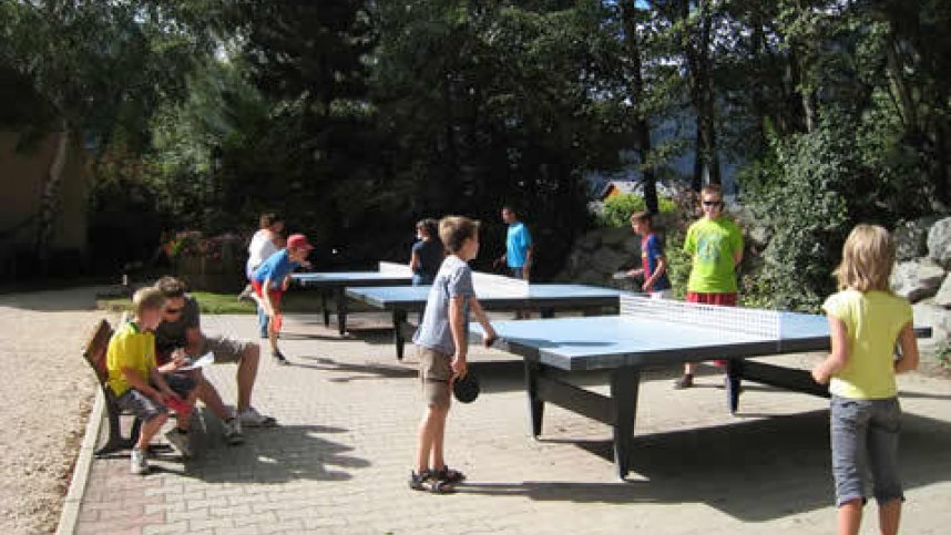
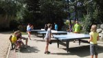
Two large, clean toilet blocks are well equipped, modern and airy with all the necessary facilities including washbasins in cabins, baby room and an accessible en-suite room. Shop with fresh bread to order (July/Aug). Restaurant, bar and takeaway (1/6-31/8). Games room. Boules. Small play area. Organised family activities (July/Aug). Fishing. WiFi over site (charged).
Directions to Camping le Colporteur
Site is in Le Bourg-d’Oisans. From Grenoble follow the N91. Take the town bypass to the first roundabout. Site is signed from the first exit. Follow signs to site, a few hundred metres.
| Postcode | Latitude, Longitude | what3words (What is this?) | Directions (from your current location) |
|---|---|---|---|
| Postcode: F-38520 | Latitude, Longitude: 45.0526, 6.0355 | ///sliver.teach.topside | Directions To Campsite Via Google Maps |
Campsite Google Map
The following consent is required:
Tracking & performance, Targeting & advertising.
Campsites Near-by