Ref: NL6075
Recreatiepark Bloemketerp
Netherlands, Friesland, Franeker
- Tel:
- +31 517 395 099
- Open:
- All year.

Alan Rogers Review of Recreatiepark Bloemketerp
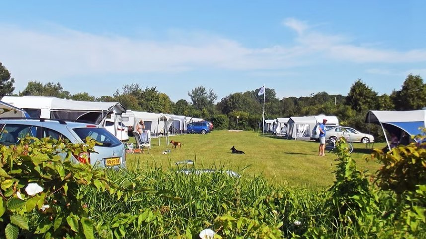
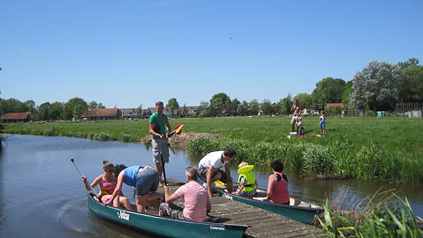
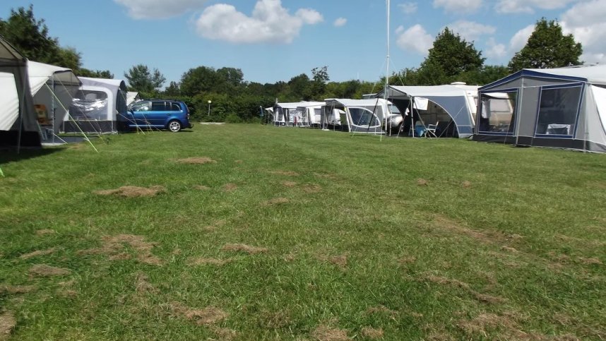
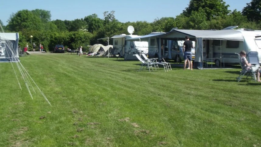
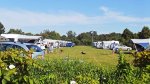
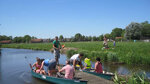
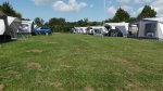
Camping Bloemketerp can be found within walking distance of the interesting and historic town of Franeker. There are about 85 sheltered and good-sized pitches here. These are dispersed around several camping fields. The park also has a range of holiday homes to rent. There is a well-equipped sports centre adjacent, with a sub-tropical indoor swimming pool, canoe rental and bicycle hire. Campers are allowed free access to this centre (fitness, tennis, squash, racquetball, sauna and massage). The park boasts an attractive, friendly restaurant (with a sun terrace) offering both a set menu and buffet options.
Franeker is one of Friesland’s famed Eleven Cities. The town is famous for its unique Eisinga planetarium, which dates back to the 18th century. Franeker was formerly a town of great note, with the second university in The Netherlands and home to the Duke of Saxony. Nowadays, it is a tranquil place surrounded by delightful Frisian countryside. This is best explored on foot or by bicycle, and the site managers will be pleased to recommend routes.
Some road noise can be heard, but it is not too intrusive.
Facilities at Recreatiepark Bloemketerp
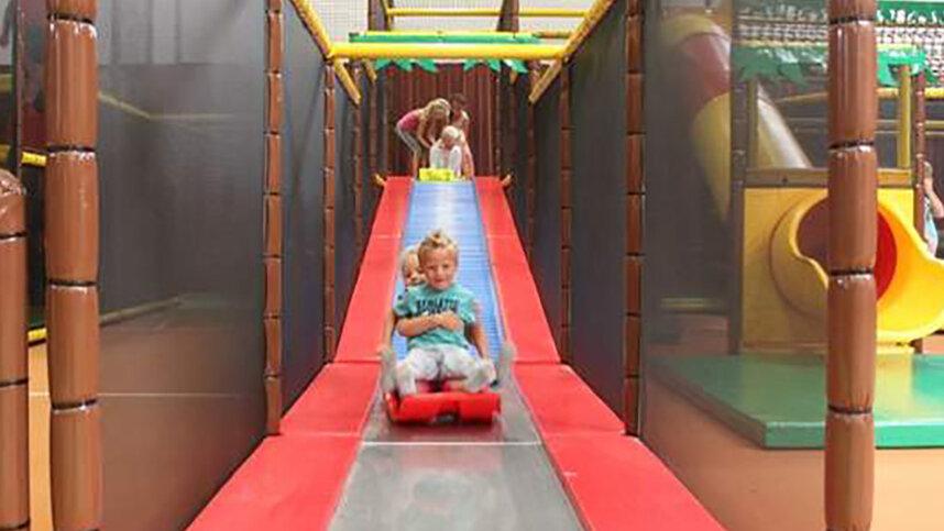
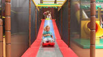
One large toilet block with controllable, hot showers (paid), open-style washbasins and accessible facilities. Laundry. Motorhome services. Restaurant (with buffet option). Takeaway meals. Sports centre full facilities. Play area. Ten-pin bowling. Recreation team (High season). Canoe hire. WiFi over site (charged). Accommodation to rent.
Directions to Recreatiepark Bloemketerp
Franeker is located near the A31 between the head of the Afsluitdijk and the capital of Friesland, Leeuwarden. Take exit 20 towards Franeker and then follow signs to Bloemketerp.
| Postcode | Latitude, Longitude | what3words (What is this?) | Directions (from your current location) |
|---|---|---|---|
| Postcode: NL-8801 PG | Latitude, Longitude: 53.189683, 5.553333 | ///liberating.varied.hunk | Directions To Campsite Via Google Maps |
Campsite Google Map
The following consent is required:
Tracking & performance, Targeting & advertising.
Campsites Near-by