Ref: FR50240
Flower Camping le Haut Dick
France, Normandy, Manche, Carentan
- Tel:
- +33 2 33 42 16 89
- Open:
- 25 March - 29 September.


Alan Rogers Review of Flower Camping le Haut Dick
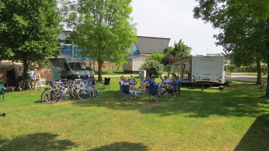
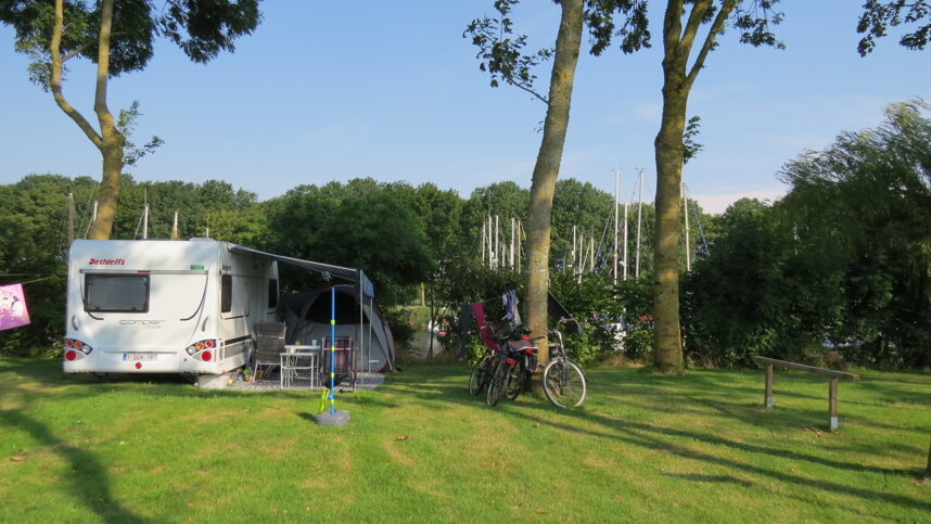
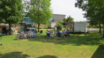
Le Haut Dick is located at the heart of the south Cotentin peninsula. On the banks of the Haut Dick canal, this is a simple campsite but has a pleasant bar/snack bar and a well maintained sanitary block. It comprises 100 good sized pitches which are flat, grassy and well divided by hedges, 71 for touring, with 10A electricity. The town of Carentan is a ten-minute walk away and features a brand new pool complex. This site is an ideal departure point for visiting the World War Two Landing Beaches and the Marais of the Cotentin Peninsula.
In addition to walking and cycling, there are sea and river boat trips. Sainte-Mère-Eglise to the north was the first town to be liberated in 1944 and has a commemorative museum. Further east, Omaha Beach and the imaginative museum at Arromanches are among the most visited destinations. The historic town of Bayeux, with its famous tapestry, is an easy drive and parking is much easier following recent improvements.
Facilities at Flower Camping le Haut Dick
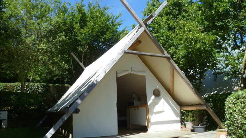
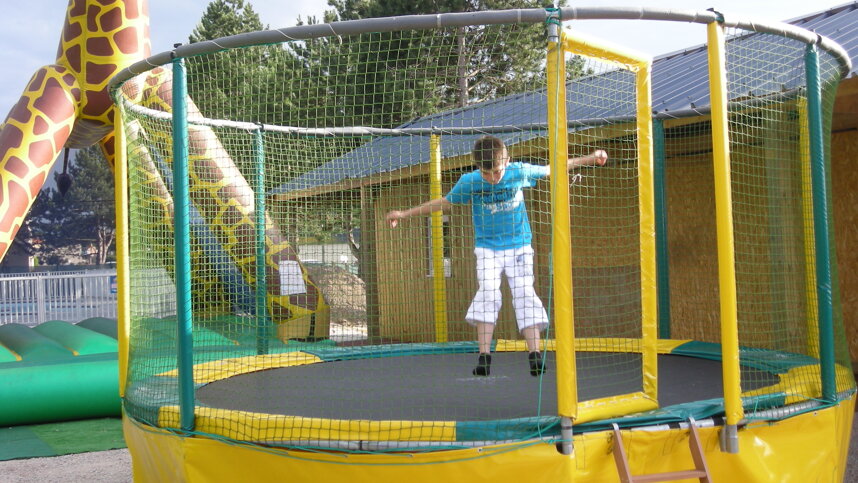
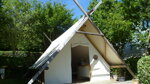
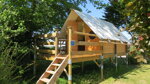
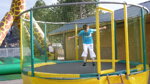
The main sanitary block has showers, baby rooms and accessible facilities. A second basic block serves the upper pitches in high season. Washing machine. Shop with fresh bread. Bar, snack bar and takeaway (all season). Outdoor swimming pool (15/6-15/9). Minigolf. Play area. Bicycle and go-kart hire. Boules. Accommodation to rent. WiFi (free in bar).
Directions to Flower Camping le Haut Dick
Carentan is 53 km. south east of Cherbourg. From north on N13 leave at exit for Carentan and head east on D971, then south on D913 to town centre. Bear left onto rue Seblin, left at square and right at green. Pass the port and turn right to site in 500 m.
| Postcode | Latitude, Longitude | what3words (What is this?) | Directions (from your current location) |
|---|---|---|---|
| Postcode: F-50500 | Latitude, Longitude: 49.309859, -1.238869 | ///soothing.chime.documents | Directions To Campsite Via Google Maps |
Campsite Google Map
The following consent is required:
Tracking & performance, Targeting & advertising.
Campsites Near-by