Ref: UK5810
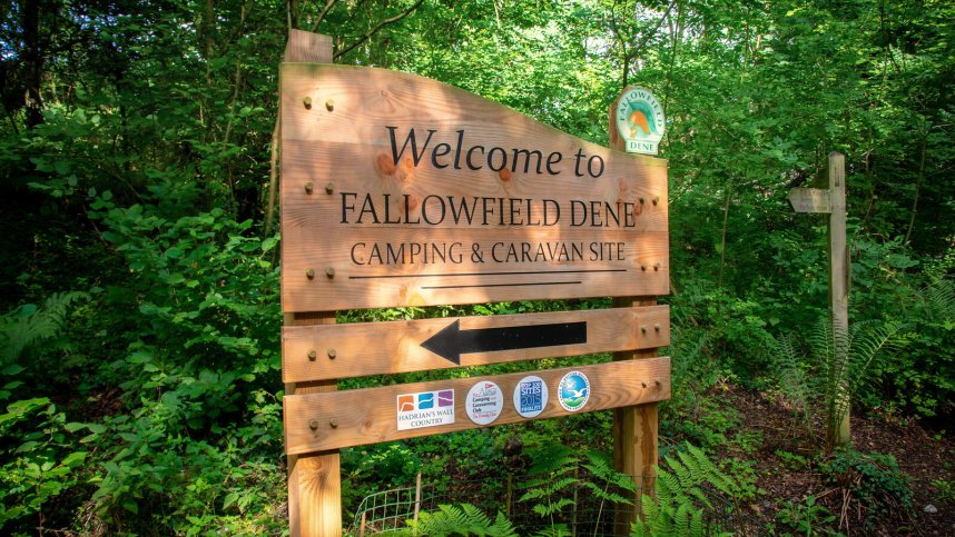
Fallowfield Dene Caravan & Camping Park
England, Northumbria, Northumberland, Hexham
- Tel:
- +44 1434 603553
- Open:
- Mid March - Early November.

Alan Rogers Review of Fallowfield Dene Caravan & Camping Park
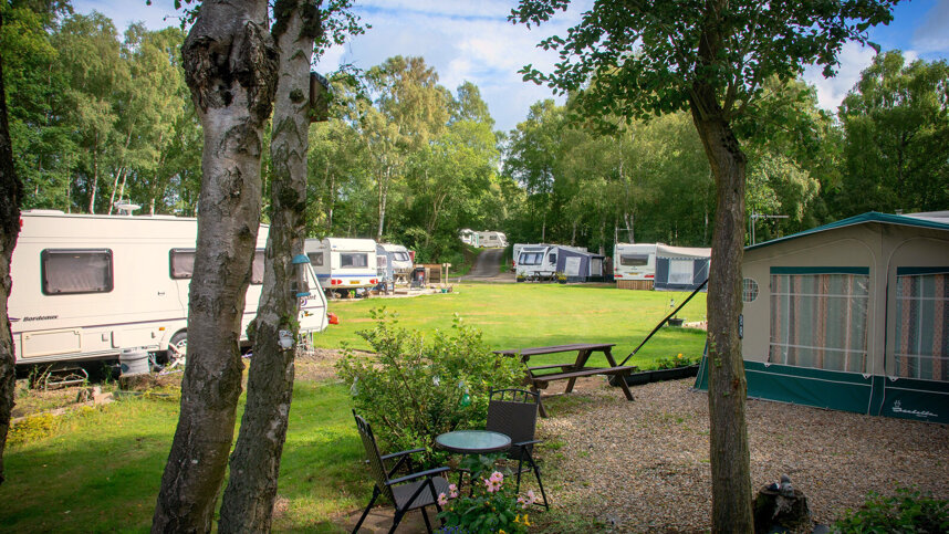
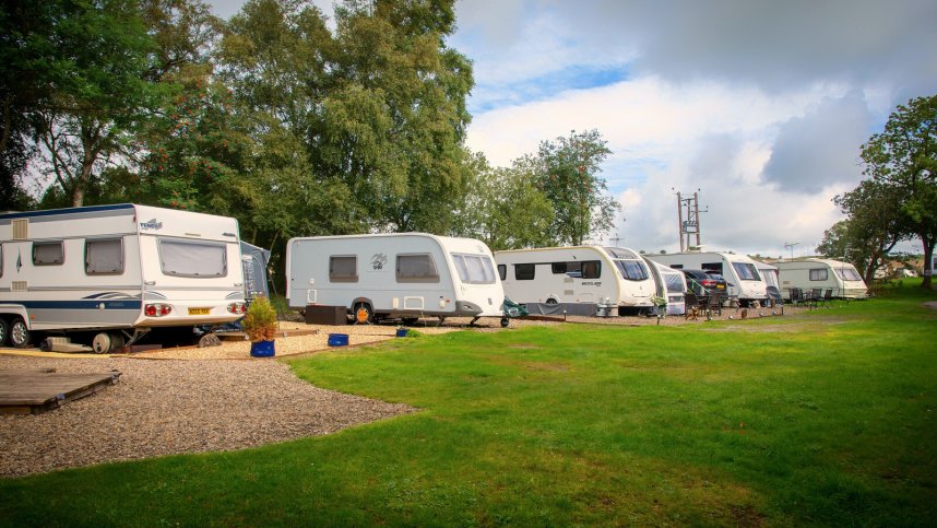
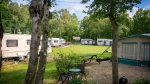
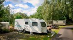
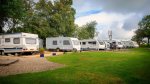
Although only 2.5 miles from Hexham, Fallowfield Dene Caravan Park is very secluded, situated in mature woodland at the end of a no-through road. Set in woodland glades (formerly a Victorian lead mine), each with a Roman name (Hadrian’s Wall is close), are 118 seasonal pitches and 32 touring pitches, all with 16A electricity. A further ten tent pitches have been added, suitable for smaller tents.
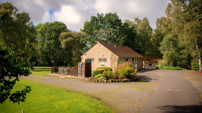
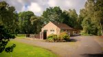
The park entrance, with a new reception and shop, is neat, tidy and very colourful. No play area or games field exists, but the surrounding woods are a paradise for children. Fallowfield Dene itself is a network of tracks, and there are footpaths from the site entrance.
The site is a haven for wildlife with red squirrels, foxes and badgers to be seen. Hadrian’s Wall is only a mile away, with Roman forts such as Houseteads Fort and Chesters being great attractions. The whole area abounds with well preserved Roman remains. Nearby, Hexham market town has its Border History museum, housed in the oldest purpose-built gaol in England, where one can learn about the Border Reivers. This site has a very friendly atmosphere.
Facilities at Fallowfield Dene Caravan & Camping Park
Brick-built toilet blocks are central and heated in cool weather. Well-tiled and kept very clean, there are washbasins in cabins and free hairdryers. Separate, fully equipped, accessible room. Laundry room with dishwashing sinks. Baby bath. Motorhome services. Small shop for essentials, including gas. Small Coffee Bar. Barrier card £5 deposit. WiFi (charged; currently in the reception area with plans to extend over the site).
Directions to Fallowfield Dene Caravan & Camping Park
From A69 Newcastle-Carlisle road, take A6079 north signed Bellingham and Rothbury. At village of Acomb, site is signed to right. Follow site signs for 1.5 miles. Then turn left down a single track road with passing places.
| Postcode | Latitude, Longitude | what3words (What is this?) | Directions (from your current location) |
|---|---|---|---|
| Postcode: NE46 4RP | Latitude, Longitude: 55.00166, -2.0947 | ///sped.left.rooster | Directions To Campsite Via Google Maps |
Campsite Google Map
The following consent is required:
Tracking & performance, Targeting & advertising.
Campsites Near-by