Ref: FR58210
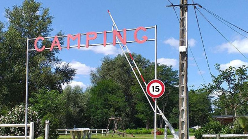
Camping Municipal le Malaga
France, Burgundy, Nièvre, Pouilly/Loire
- Tel:
- +33 6 52 89 45 85
- Open:
- Start May - Mid September.


Alan Rogers Review of Camping Municipal le Malaga
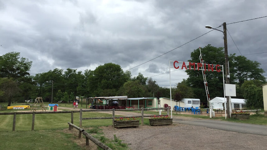
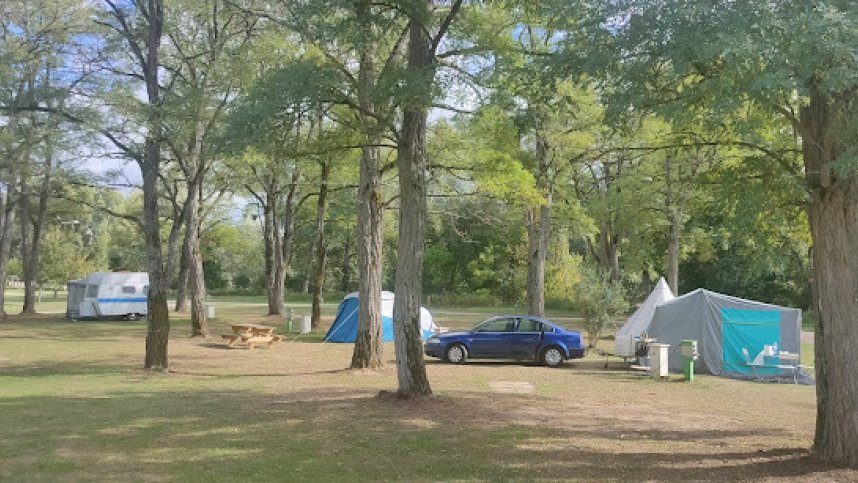
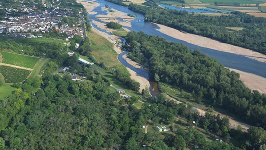
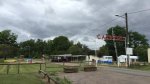
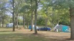
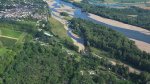
Camping Municipal le Malaga is nestled in the Loire Valley Nature Reserve, in the heart of a 3-hectare park, bordered by the Loire, the last wild river in Europe, and close to the famous Pouilly vineyards. Ideally located halfway between the source of the Loire and its mouth. Whilst here you could try the internationally renowned Pouilly Fumé and Pouilly sur Loire wines. Visit the Pouilly Fumé Tower where you will discover an inventive scenography to better understand the vineyard, the work of the winegrowers and the secrets of Pouilly Fumé, without forgetting the superb "Cave aux Arômes", guided tours of the vineyard and cellar visits. Nature activities could include Rabaska canoe trips on the Loire with the Pavillon du Milieu de Loire team. Near the site is a playground that will delight your children. The proximity of the village with its shops, restaurants and amenities will help facilitate your stay. The site has 100 touring pitches with 15-amp hook-up point. There are also 5 Tepees available to hire.
Facilities at Camping Municipal le Malaga
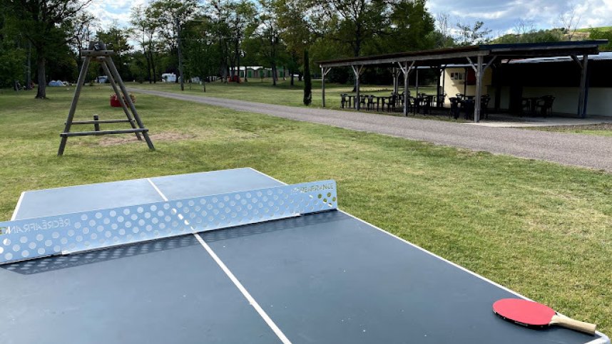
The toilet block has showers, washbasins and wc’s. Chemical toilet point. Dish washing area. Motorhome service point. Boules area. Dogs, BBQ’s and Twin axle caravans allowed. Bread to order. Snack bar. Bar. Restaurant. Freezer for icepacks. Sandy beach. Children’s play area. Boules. Multi-sport pitch.
Directions to Camping Municipal le Malaga
From the north on the A77 at exit 25 join the D153 towards the river Cher. At the river turn left onto the D243. The site is then well signed off this road. From the south on the A77 at exit 26 join the D28A and at a crossroads turn left onto D243. Just before the river bridge turn right onto the D243. The site is then on the left off this road and is well signed.
| Postcode | Latitude, Longitude | what3words (What is this?) | Directions (from your current location) |
|---|---|---|---|
| Postcode: F-58150 | Latitude, Longitude: 47.28678, 2.94721 | ///crash.pralines.riding | Directions To Campsite Via Google Maps |
Campsite Google Map
The following consent is required:
Tracking & performance, Targeting & advertising.
Campsites Near-by