Ref: FR45110
Camping Municipal de Flux
France, Val de Loire, Loiret, Beaugency
- Tel:
- +33 2 38 44 50 39
- Open:
- 3 April - 15 September.


Alan Rogers Review of Camping Municipal de Flux
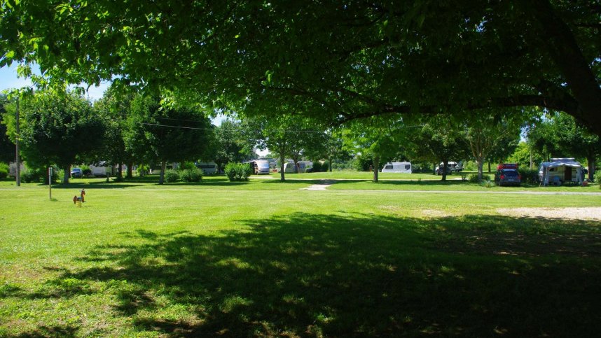
A tranquil municipal site on a bank of the River Loire, just 400 m. from the centre of Beaugency. This quiet town in the Valley of the Kings, between Blois and Orléans, has a long history evidenced by its 11th-century tower and 12th-century Maison des Templiers. The six-hectare site has 200 medium sized (90 sq.m) touring pitches, 150 with 10A electricity. Some are shaded, others are more open. As with many municipals, its main attraction is its proximity to the amenities of Beaugency, which include bars and restaurants, historic monuments and a railway station. It is an ideal location for touring the châteaux of the Loire, cycling on the Loire à Vélo route or following one of the many marked walking routes. There is even a ‘beach’ at the Quai Dunois, complete with palm trees and loungers (mid July to the end of August).
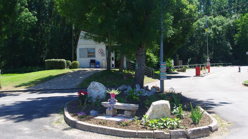
Facilities at Camping Municipal de Flux
Heated sanitary block has hot showers and some private cubicles. Accessible facilities, Washing machine. Motorhome service point. Shop, bar, restaurant and takeaway (1/6-31/8). Playground. Fishing. WiFi on part of site (free).
Directions to Camping Municipal de Flux
From Orleans on E5, take exit 15 for Beaugency. After toll booth, take second exit at roundabout onto D2 and continue to Beaugency in 8 km. At traffic lights by water tower, take left hand lane and turn towards river (signed for château and camping). Turn left onto bridge, cross river, straight ahead to site shortly on left.
| Postcode | Latitude, Longitude | what3words (What is this?) | Directions (from your current location) |
|---|---|---|---|
| Postcode: F-45190 | Latitude, Longitude: 47.77552, 1.6421 | ///feuds.exceedingly.restricts | Directions To Campsite Via Google Maps |
Campsite Google Map
The following consent is required:
Tracking & performance, Targeting & advertising.
Campsites Near-by