Ref: SV4405
Camping Menina
Slovenia, Recica ob Savinji
- Tel:
- +386 3583 5027
- Other:
- +386 40525266
- Open:
- All year.


Alan Rogers Review of Camping Menina
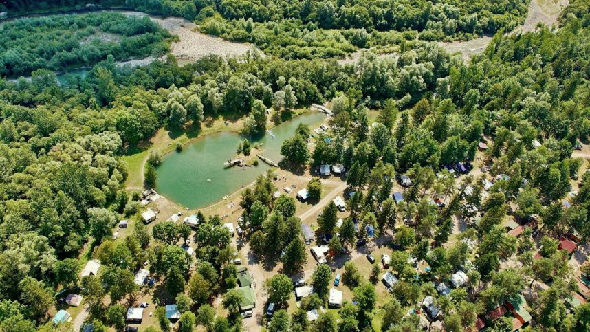
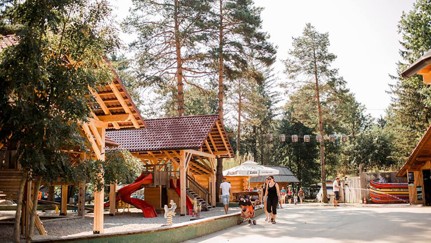
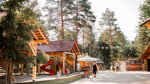
Camping Menina is in the heart of the 35 km. long Upper Savinja Valley, surrounded by 2,500 m. high mountains and unspoilt nature. It is being improved every year by the young, enthusiastic owner, Jurij Kolenc, and has 200 pitches, all for touring units, on grassy fields under mature trees and with access from gravel roads. All have 10A electricity.
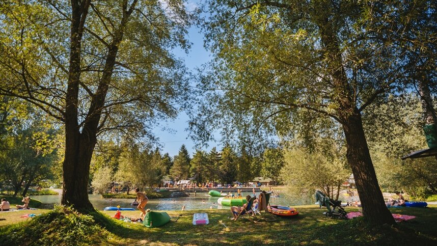
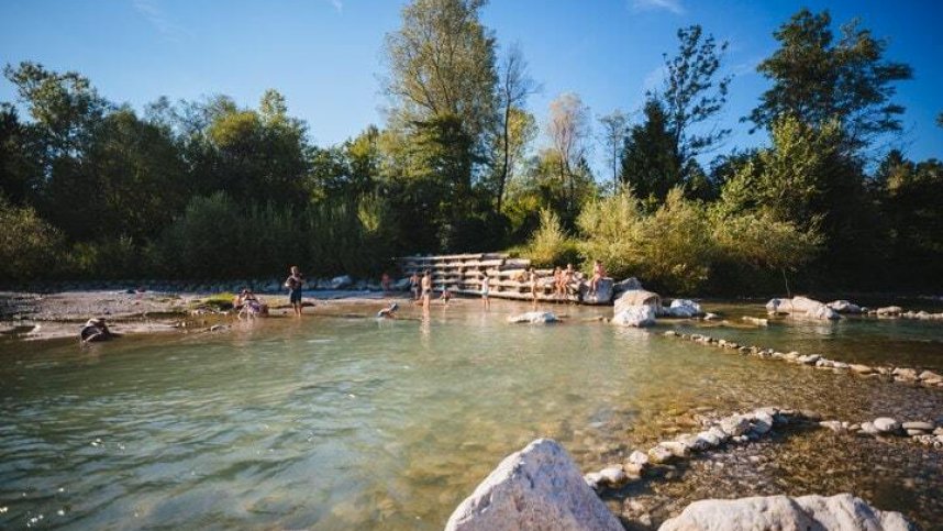
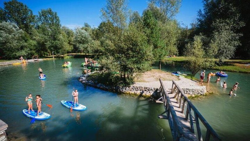
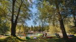
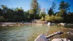
The Savinja River runs along one side of the site, but if the water is too cold, the site also has a lake which can be used for swimming. This site is a perfect base for walking or mountain biking in the mountains. A wealth of maps and routes are available from reception. Rafting, canyoning, and kayaking opportunities in the area encourage many groups to visit the site.
Each year something extra appears to be added to this ever-changing campsite; a tree-top zip wire, a sauna and a ‘bear lodge’ are more recent additions. The site is now open all year to offer skiing holidays.
Facilities at Camping Menina
Four sanitary blocks have modern fittings with toilets, open-plan washbasins and controllable hot showers. Washing machine. Motorhome services. Bar/restaurant with open-air terrace (Seasonal) and open-air kitchen. Sauna. Playing field. Play area. Tree-top zip wire. Archery, Fishing. Russian bowling. Excursions. Live music and gatherings around the campfire. Hostel. Skiing in winter. Climbing wall. Rafting. Kayaking. Mountain bike hire. Mobile homes to rent. WiFi (free).
Green Credentials
Directions to Camping Menina
From Ljubljana/Celje autobahn A1. Exit at Sentupert and turn north towards Mozirje (14 km). At roundabout just before Mozirje, hard left staying on the 225 for 6 km. to Nizka then just after the circular automatic petrol station, left where site is signed.
| Postcode | Latitude, Longitude | what3words (What is this?) | Directions (from your current location) |
|---|---|---|---|
| Postcode: SLO-3332 | Latitude, Longitude: 46.31168, 14.90913 | ///undertones.alternative.glimmers | Directions To Campsite Via Google Maps |
Campsite Google Map
The following consent is required:
Tracking & performance, Targeting & advertising.
Campsites Near-by