Ref: FR05360
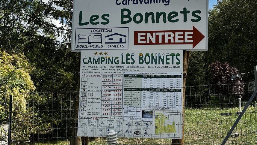
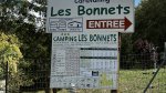
Camping les Bonnets
France, Provence, Hautes-Alpes, Neffes
- Tel:
- +33 4 92 57 93 89
- Other:
- +33 6 88 73 13 59
- Open:
- 1 June - 30 September.


Alan Rogers Review of Camping les Bonnets
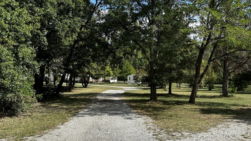
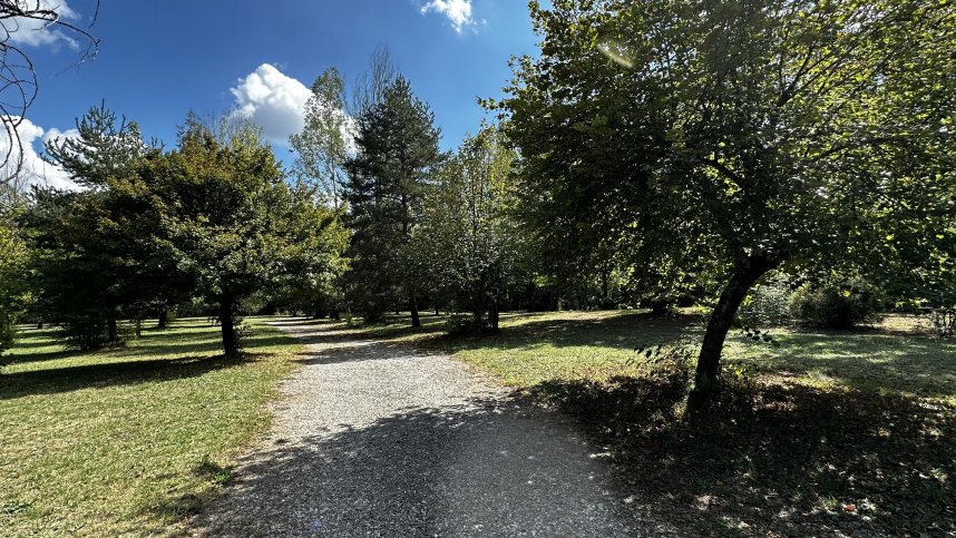
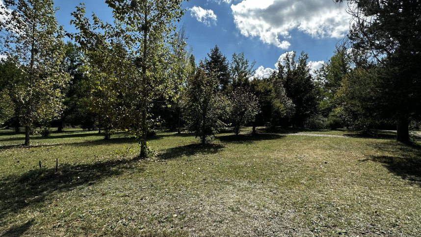
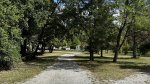
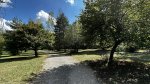
Neffes is a little alpine village on the Route des Villages Perchés, close to Gap, the capital of the Hautes-Alpes and, at 750 metres above sea level, France’s highest préfecture. The campsite is in a good location if you are looking for a convenient overnight stop near Gap or for touring the local region. Pitches were of a good size, flat and level and had tree shade; all had E.H.U. they were not well tended, and I was the only visitor on the night I stayed.
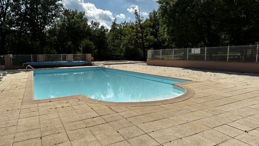
Facilities were housed in a central block and were very clean but very dated. However, when I visited in early September, the bar and restaurant area were closed, the pool area had grass growing between the paving stones, and the area looked uncared for and neglected. At one time, this would have been a beautiful site in a great location, but it is in need of serious, some serious T.L.C.
This site is more comparable to a municipal site than a commercial; however, if you accept that a pitch was just 13 euros and the location outstanding, you will get an excellent peaceful night's sleep, be surrounded by some fantastic scenery and have clean, sanitary facilities with hot water. It comes in as an excellent value.
Gap is an interesting market town, full of shops, restaurants and terrace cafés and the area provides a wealth of opportunities for walking, biking, mountain activities and white-water sports.
Just north of Gap, the Domaine de Charence has extensive parkland and gardens, including a collection of about 1,500 varieties of old roses, and the former stables are now the home to the Conservatoire Botanique National Alpin whose herbarium houses 100,000 specimens of alpine plants. As well as exploring the attractive hilltop villages, visitors can follow the Route des Vins and discover some of the little-known wines of the Hautes-Alpes, possibly also stopping at a wayside restaurant to enjoy the distinctive local cuisine.
Facilities at Camping les Bonnets
Three heated sanitary blocks include accessible facilities. Washing machine and ironing facilities. Outdoor swimming and paddling pools. Shop, bar and restaurant. Floodlit multisports court and pétanque. Play area and twice-weekly organised activities. Welcoming party at weekend with presentation of the places of interest nearby. Reservations for excursions and mountain sports. WiFi on part of site (charged).
Green Credentials
Directions to Camping les Bonnets
Neffes is 120 km. south of Grenoble via A51, then D1075 (Sisteron). After village of La Faurie turn east in 3.5 km. on D994 towards Gap then in 17 km. head south on D47/D446 to Neffes. After village, turn south on D46 then in 300 m. turn sharp left and head east to site on right in 250 m.
| Postcode | Latitude, Longitude | what3words (What is this?) | Directions (from your current location) |
|---|---|---|---|
| Postcode: F-05000 | Latitude, Longitude: 44.49898, 6.02891 | ///cleanest.frailer.trots | Directions To Campsite Via Google Maps |
Campsite Google Map
The following consent is required:
Tracking & performance, Targeting & advertising.
Campsites Near-by