Ref: FR50210
Camping le Rivage
France, Normandy, Manche, Quettehou
- Tel:
- +33 2 33 54 13 76
- Open:
- Start May - End October.


Alan Rogers Review of Camping le Rivage
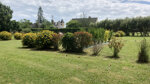
A lovely site located right on the Normandy Coast you can walk into the picturesque village of Morsalines (400 meters) where there is a beach and shallow water to swim safely in. Camping Le Rivage is located on the Cotentin coast, around 4 km. from the harbour at Saint Vaast la Hougue. There are 11 pitches, many of which are occupied by mobile homes and chalets (some available to rent). The touring pitches are grassy and generally sunny, most with 6A electricity connections.
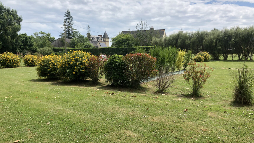
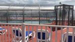
This site is well kept and facilities are clean and modern, there is a bar/restaurant with outdoor seating looking directly onto a large children’s play area and a children’s club in July & August. Pitches are well maintained and spacious divided by hedges and there is also an open area for tents.
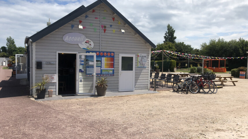
Reception serves as an excellent tourist information centre, and many WW2 memorials and museums in the surrounding area. There is a supermarket and restaurants in the village 2 km away. This site makes a good ferry stopover as it is just 21 miles from Cherbourg and a good location for touring the Cherbourg Peninsular.
Facilities at Camping le Rivage
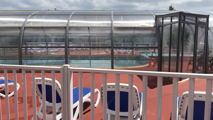
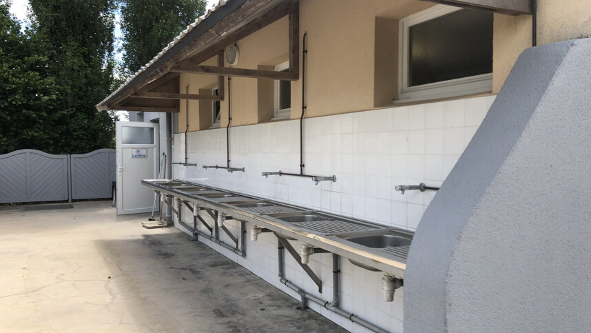
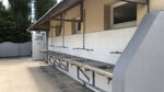
Sanitary block with hot showers and accessible facilities, Laundry room, Shop, Fresh bread service, Restaurant, Bar, snack bar and takeaway. Outdoor covered swimming pool and children's pool, Games room, TV, Play area. Activity and entertainment programme ( high season) Mobile Homes to rent, WIFI, Pets allowed.
Directions to Camping le Rivage
From Cherbourg, head southeast on the D120 to Le Theil and then join the D56 to Quettehou. Site is clearly signed. Do not rely on sat-nav wait until you see the site entrance sign, sat-nav may suggest you take an earlier turn and then right down a farm track, you will end up at the site but following the D 56 is easier.
| Postcode | Latitude, Longitude | what3words (What is this?) | Directions (from your current location) |
|---|---|---|---|
| Postcode: F-50630 | Latitude, Longitude: 49.5796, -1.3076 | ///chive.curtains.topside | Directions To Campsite Via Google Maps |
Campsite Google Map
The following consent is required:
Tracking & performance, Targeting & advertising.
Campsites Near-by